Software tools - Hyperspectral remote sensing
Educational Material / Hyperspectral Imagery
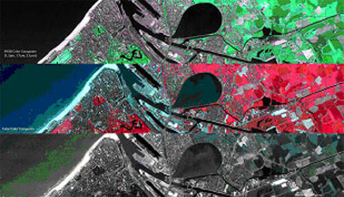
Hyperspectral remote sensing
Hyperspectral remote sensing, data processing and analysis training course
Publisher: Ils Reusen (VITO) & NCEO, BAS, PML
Producer: Other
Status: Ready to use
Features:
An online course for PhD students and early stage researchers developed by Dr Alasdair Mac Arthur (NCEO-FSF, U. of Edinburg), Dr Gary Llewellyn (BAS NARF), Mr Ben Taylor (NARF-DAN-PML), Dr Jose Gormez-Dans (NCEO-UCL), prof . Martin Wooster (NCEO-KCL)
The education material includes presentations and videos on:
- Hyperspectral imaging
- Flight planning and cal/val
- Field sampling strategies
- NERC hyperspectral instruments
- Atmospheric corrections
- ATCOR4
- Hyperspectral data processing and use of APL
- Introduction to radiative transfer modelling
- Radiative transfer of leaves and canopies
- Inferring the characteristics of the surface from optical data
Hyperlink to the ACS-training videos
Hands-on lessons for PhD students and early-stage researchers developed by Dr. Ils Reusen (VITO)
Hands-on lessons and data for airborne hyperspectral remote sensing:
Lesson 1a : Atmospheric corrections
Lesson 1b : Geometric corrections
Lesson 2 : Data preparation
Lesson 9 : The colour of leaves
Lesson 10 : Classification of vegetation species using spectral similarity measures
Lesson 11 : Statistical techniques for classifying vegetation species
Lesson 12 : Submerged colours
Lesson 13 : Atmospheric correction for water bodies
Lesson 14 : Sediment concentration mapping