Software tools - HYPERCUBE
Data Processing / Hyperspectral Imagery

HYPERCUBE
HYPERCUBE
Publisher: ERDC’s Geospatial Research Laboratory
Producer: Other
Platform: Mac OSX, Windows
Software / Code: C++
Software version: 2015
Status: Ready to use
Features:
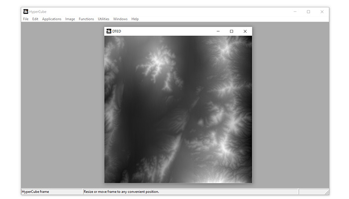
HyperCube is a Macintosh and Windows application program created by ERDC’s Geospatial Research Laboratory (GRL) that analyzes and displays multi- and hyper-spectral imagery. This includes the static and dynamic display of the image cube and the generation of spectral classifications using both imagery and spectral libraries.
HyperCube is easy to install and set up. With state-of-the-art functionality, HyperCube can filter, warp, mosaic, reformat, calibrate, combine, photogrammetrically project and perform arithmetic on imagery and data.
Other features include:
- Image Loading: Intrinsic and general file types, SRF, TARGA, ERDAS Imagine, ESRI Shape, HDF, JPEG, LASF/ASCII LIDAR, NITF, PNG, TIFF
- Image Operations and Conversions: Zoom, gray and color mapping, data mapping, flips, rotations, filtering, components to color, indexed to color, gray scale/color tables, replace color, image to mask, histogram equalization
- Image and Multiband Functions: Statistical measures, histograms, pixel exclusion, scatter plot, image arithmetic, mosaic points and references, warp, plot scaling, band and annotation list, band scrolling, flicker/superimpose, constructing/modifying a cube, color composite, spectral plots, selection point colors
- Spectral Libraries and Classifications: Format, plotting and superimposing signatures; general and specific algorithms; classify function and options; image product; F(Signatures); ROC curves; attach class map; class map editor; spectral calibration
- Utilities and Applications: Wrap JPEG in NITF; GeoTIFF and JPEG to NITF; Buckeye files to NITF; library; cube ASCII file conversions; concatenate images, cubes and files; apply transformation; merge LAS files; ASCII LIDAR to LASF; shaded relief; contour; stereo mate and compilation; perspective; radiance; lens distortion
References: